View Cart $-.--
0
View Cart $-.--
0
Home About News & Articles Rock Robotics LIDAR: ROCK R2A

Rock Robotics LIDAR: ROCK R2A

February 23, 2022 · New Product

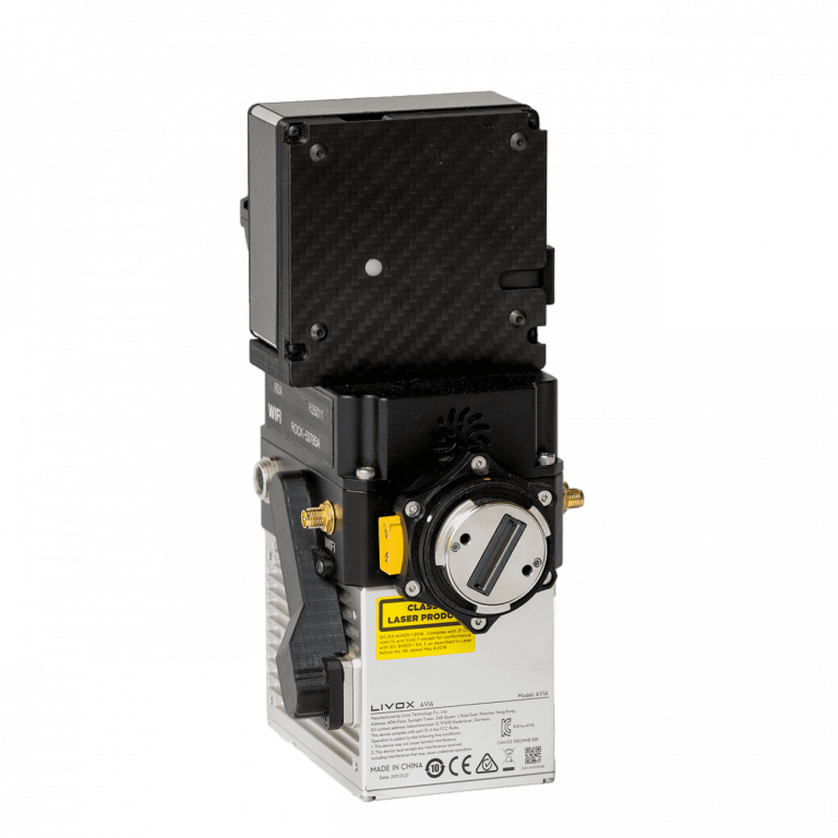
The ROCK R2A is a complete aerial mapping solution, integrating the new Livox Avia sensor, with a Novatel GNSS, high-accuracy Inertial Labs IMU and a 24MP Sony camera. The system is used with the DJI M300, DJI M210, DJI M200, DJI M600, FreeFly Alta X, FreeFly Astro, SkyFish and Mobile Mapping. When used with the ROCK Cloud — complete deliverables are only a flight away.

147_R2A_15_768x768_img.png

Specs

RGB Camera: Sony a5100 – 24 MP Camera

MAX Points Per Second: 720,000 points/s (triple return)

Scan Rate: 240,000 pts/s and 3 returns

Field of View: 70.4° (Horizontal) ×4.5° (Vertical)

Storage: 256 GB Provided (1TB supported)

System Accuracy: ± 5 cm

Laser Sensor: Livox Avia

Camera & LiDAR in One Package

  • Sony α5100
    • 24 MP Sony camera is co-aligned with the LiDAR sensor to capture RGB photos while you fly. After you land colorize your LiDAR data and also produce geotagged photos that can be later used for photogrammetry.
  • Livox Avia
    • 240,000 laser pulses per second, up-to 3 returns, a total of 720,000 range measurements per second, maximum detection range of 450m, a field of view of 70.4 degrees, and range accuracy of 2cm makes this a perfect solution for aerial survey grade data acquisition.
Subscribe to updates
Get notified about new announcements, articles, and more!