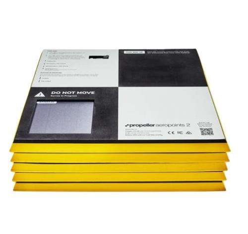
The AeroPoints 5-Pack GPS-Enabled Smart Ground Control Points provide precise georeferencing for aerial mapping and surveying projects. Each unit features integrated GNSS technology to automatically log positional data, reducing manual setup and streamlining workflows. AeroPoints are ideal for drone-based photogrammetry, construction site mapping, and topographic surveys where accuracy and efficiency are critical. Their in-built GPS requires only 45 minutes of activation, aligning perfectly with typical drone operation times for hassle-free deployment.
Designed for durability and compatibility, AeroPoints deliver global accuracy of up to 2 cm when used with the Propeller Corrections Network, a known point (including local grid), or RINEX data. This makes them a dependable solution for applications such as infrastructure inspections, mining operations, and agricultural land analysis. The rugged design ensures reliable performance in challenging environments, while automated data collection simplifies integration with leading mapping platforms.
Key Features:
- GPS-enabled smart ground control points for accurate georeferencing
- Integrated GNSS technology for automated positional data logging
- In-built GPS requires only 45 minutes of activation
- Global accuracy of 2 cm with Propeller Corrections Network, known point, or RINEX data
- Compatible with major photogrammetry and mapping platforms
- Rugged design for outdoor and industrial environments
- Simplifies drone survey workflows and reduces setup time
- Ideal for construction, mining, agriculture, and infrastructure mapping
- Includes five AeroPoints units for multi-point coverage
- Long-lasting battery life for extended field operations
- Backed by manufacturer warranty for reliability
There are currently no resources for this product.
Qty 5- AeroPoints 2
Qty 1- AeroStencil
Qty 1- User Manual
Qty 1- Quickstart Activation Code
Qty 1- AeroPoints Carry Bag