


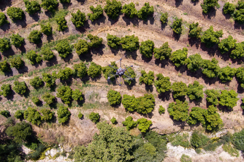
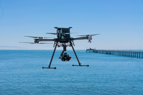
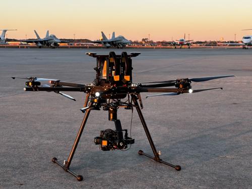
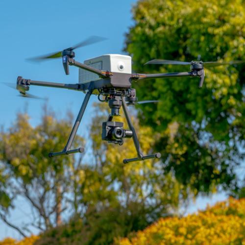
The IF800 Tomcat is a medium-lift quadcopter drone developed by Inspired Flight Technologies. It is designed to be portable, deployable, and dependable, making it a reliable and adaptable tool for professionals. The drone is equipped with an array of advanced features that cater to diverse professional applications, including high-resolution aerial photogrammetry, surveying, search and rescue, and infrastructure inspection. The IF800 Tomcat offers a maximum flight time of 54 minutes, a maximum payload of 6.6 lbs, a maximum speed of 49 mph, and a maximum wind resistance of 23 knots. It also offers a variety of pre-integrated payloads chosen specifically for each industry.
This bundle for the IF800 Tomcat comes equipped with the Sony ILX-LR1. A professional camera designed specifically for industrial applications. It features a 61 effective megapixel, full-frame image sensor, and supports interchangeable E-mount lenses. The ILX-LR1 is significantly lighter than conventional Alpha cameras, making it ideal for tasks like inspection, investigation, surveying, and mapping. Its slim, viewfinder-less form factor and integrated controls make it suitable for a variety of industrial applications. The camera operates with a high-resolution sensor for detailed images, a wide ISO range of 100-32000, and a 3fps continuous shooting capability.
It's becoming a standard practice of integrating UAS products into various fields, perpetually employed to manage operations of the highest intensity including, Defense Operations, Utility Inspections, Mapping, and Public Safety. Defense Operations, Utility Inspections, Mapping, and Public Safety are four distinct yet interconnected domains. Defense Operations involve strategic activities designed to protect and defend a country’s national interests, often employing advanced technologies and rigorous training programs. Utility Inspections refer to the systematic examination of infrastructure systems like electricity, water, and gas to ensure their optimal operation and safety. Mapping is the process of creating visual representations of geographical areas, which is crucial for planning, decision-making, and navigation in various fields. Lastly, Public Safety encompasses measures and systems put in place to protect the public from dangers, including emergency response services and law enforcement. Together, these four areas form a comprehensive framework for maintaining societal order and safety.
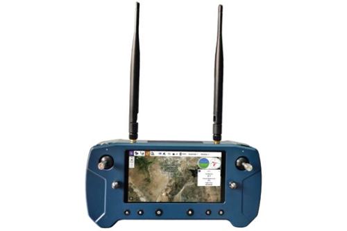
Bundle Specification:
Bundle Includes: