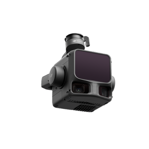
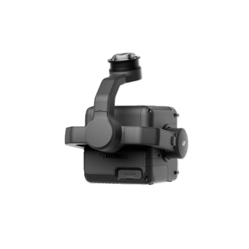


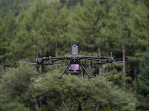
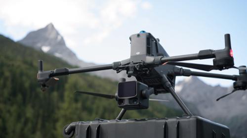
The DJI Zenmuse L3 is a high-performance LiDAR payload designed for integration with the DJI Matrice 400 drone platform. Featuring a 1535nm long-range LiDAR sensor, the L3 delivers high penetration and measurement accuracy, making it suitable for complex terrain and dense vegetation. Its dual 100MP RGB mapping camera system enables detailed visual documentation alongside geospatial data collection, supporting precision mapping and inspection workflows. The L3 is engineered to operate seamlessly with the M400’s extended flight capabilities and multi-gimbal payload support, enhancing productivity in large-scale aerial missions.
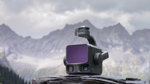
This payload is ideal for applications in surveying, construction, power line inspection, forestry, and emergency response. Under optimal conditions, the Zenmuse L3 can achieve up to 100 km² of daily coverage, significantly reducing operational time and cost for geospatial professionals. Its integration with DJI’s ecosystem ensures compatibility with advanced automation, real-time data transmission, and post-processing tools, making it a reliable solution for enterprise-grade mapping and infrastructure analysis.
|
|
|
Long Range, Wide CoverageZenmuse L3 achieves a maximum detection range of 950 m at a pulse rate of 100 kHz, tested under 100 klx ambient light and on objects with 10% reflectivity. The adjustable pulse rate allows for flexible power output and optimal adaptation to different operational scenarios. Typical flight altitudes of 300 to 500 m significantly expand single-flight coverage and boost mapping efficiency. |
|
Small Spot, High EnergyWith a laser beam divergence of just 0.25 mrad (1/e²), the spot size at the same range is about one-fifth that of Zenmuse L2, enabling detection of smaller objects such as power lines and branches. Higher energy density results in stronger penetration capability, significantly increasing ground point density beneath vegetation and enabling high-accuracy reconstruction of complex terrains and structures. |
High Pulse Rate, Multiple ReturnsWith maximum laser pulse emission frequency of 2 million pulses per second and support for up to 16 returns, Zenmuse L3 delivers highly accurate spatial reconstruction. Point cloud density and penetration capability can be adjusted to fit needs from high-accuracy mapping to complex environments. |
|
LiDAR Data AccuracyVertical accuracy is better than 3 cm at 120m altitude, better than 5 cm at 300 m, and better than 10 cm at 500 m, easily supporting mapping projects at 1:500, 1:1000, and 1:2000 scales. The point cloud thickness produced by Zenmuse L3 is only half that of Zenmuse L2, supporting advanced analysis and high-accuracy applications.
|
|
|
|
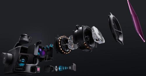
Dual 100MP RGB Mapping CamerasEquipped with dual 100MP 4/3 CMOS RGB Sensors and a mechanical shutter, Zenmuse L3 delivers significantly enhanced accuracy and efficiency. Pixel binning supports an effective 25MP resolution with larger pixel size, producing superior color reproduction even under poor lighting conditions. |
|
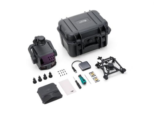
Qty 1 - Zenmuse L3 LiDAR Payload
Qty 1 - Zenmuse L3 Single Gamble Connector
Qty 1 - Storage Case
Qty 1 - Gimbal Dampers
Qty 2 - CFexpress Type B Memory Card
Qty 1 - CFexpress Type B Card Reader
Qty 1 - DJI Matrice 400 Carrying Case Insert
Qty 1 - Lens Cleaning Cloth
Qty 4, 8, 1 - Screws and Tools