

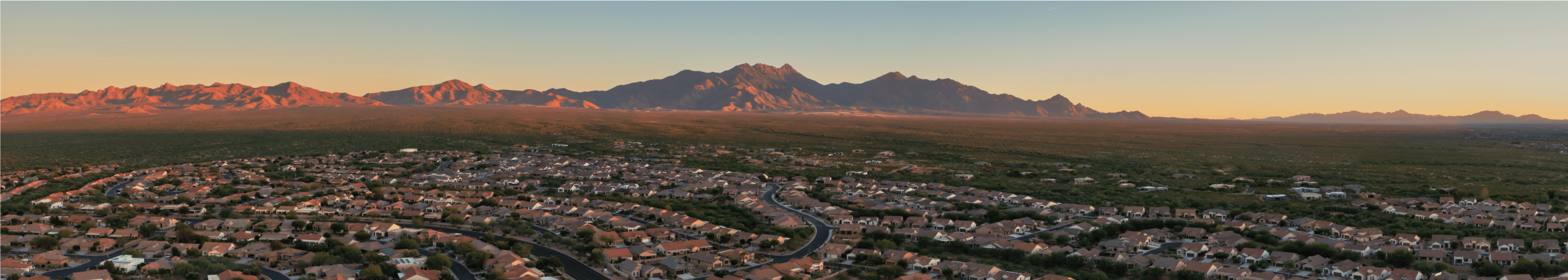
For government agencies, construction firms, and engineering companies, drones are powerful tools that improve infrastructure operations and service delivery, ensure structural integrity, and optimize the management of essential resources. Drones provide invaluable insights, from surveying vast transportation networks to inspecting bridges and monitoring water systems, that help streamline operations and enhance decision-making processes.
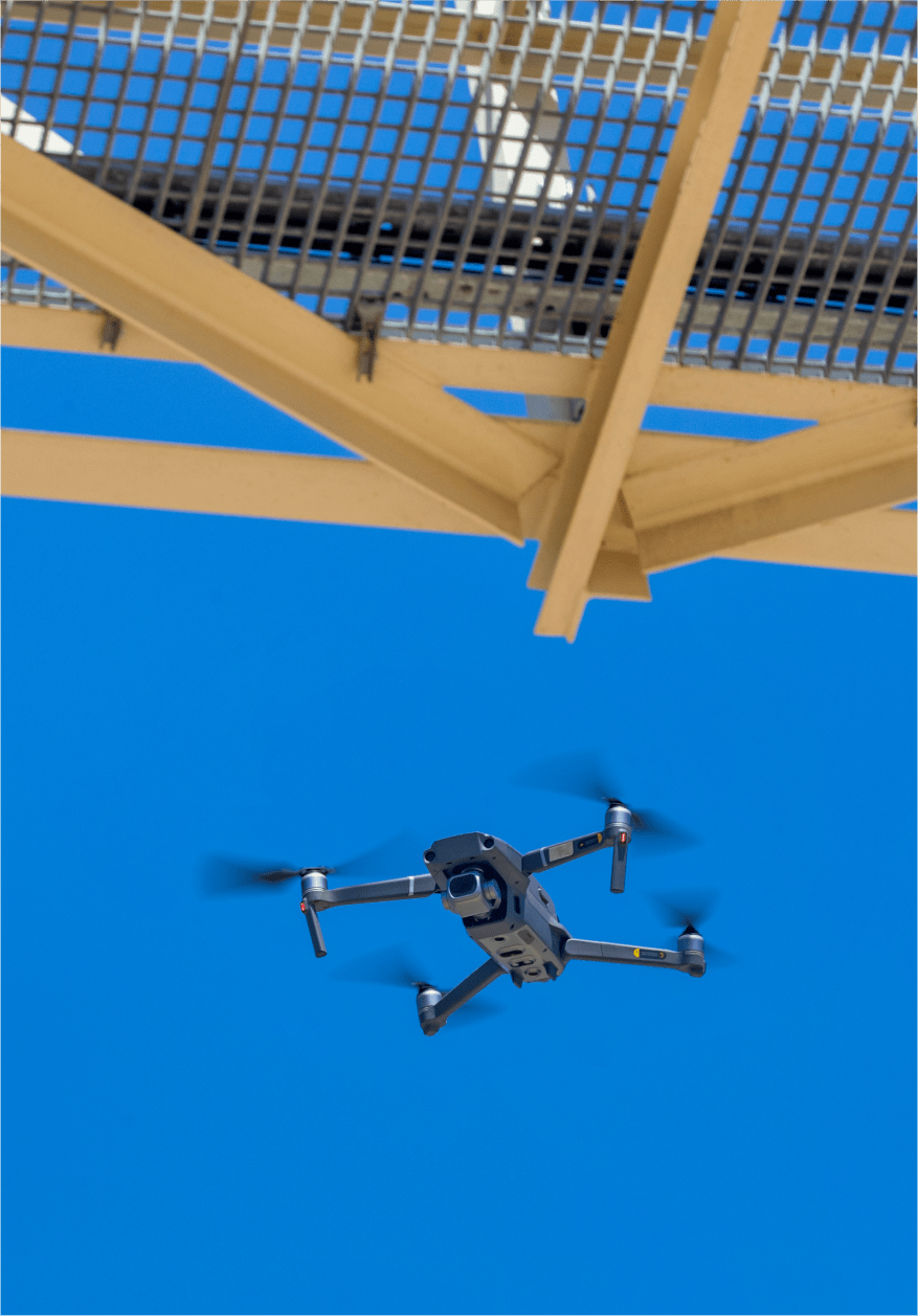
Gresco UAS empowers your decision-making by offering rapid data collection, real-time monitoring, and access to challenging environments, all while minimizing risks and reducing operational costs. Drones play a pivotal role in maintaining the resilience and reliability of your physical frameworks, meeting the demands of modern society.


Drones mitigate risks by performing inspections that would otherwise put human workers in danger.
Utilizing drones lowers the expenses associated with traditional infrastructure monitoring and maintenance methods.
Drones expedite the gathering and processing of critical data, streamlining infrastructure management workflows.
Drones easily navigate difficult or unsafe environments, ensuring comprehensive inspections without compromising safety.
Drones provide instant data feeds, enabling timely decisions in response to changing conditions or emergencies.
Drone operations are less intrusive than traditional methods, supporting eco-friendly practices and regulatory adherence.
Regular, thorough inspections and maintenance facilitated by drones contribute to extended operational life and dependability of infrastructure components.
The integration of drones within the transportation sector signifies a significant leap forward in managing and maintaining our roads, railways, and bridges. By providing a bird's eye view and precise data, drones help the Department of Transportation (DOT) optimize traffic flow, enhance safety, and ensure the structural integrity of transportation infrastructure. They serve as a versatile tool for a variety of tasks, from traffic monitoring to disaster response, making transportation operations more efficient and responsive.
How are Drones Used in Transportation?
Conducting detailed inspections of bridges, roads, and railways
Monitoring traffic patterns and managing congestion
Aiding in accident response and search and rescue operations
Assessing air quality and environmental impact
Mapping and surveying for project planning and disaster recovery
Enhancing security and enforcing traffic laws

Drones have redefined the bridge inspection process by providing a safer, faster, and more thorough means of examining structural integrity. Equipped with advanced imaging technologies, drones offer detailed insights into the condition of bridges, enabling timely maintenance and reducing the risk of structural failures. This approach not only enhances the safety of inspection teams but also ensures the continued reliability of these critical connectors in our transportation network.
How are Drones Used in Bridge Inspection?
Capturing high-resolution images and videos for comprehensive analysis
Utilizing thermal imaging to detect underlying structural issues
Creating accurate 3D models with LiDAR technology
Inspecting hard-to-reach areas with minimal risk
Rapidly deploying for emergency inspections following natural disasters
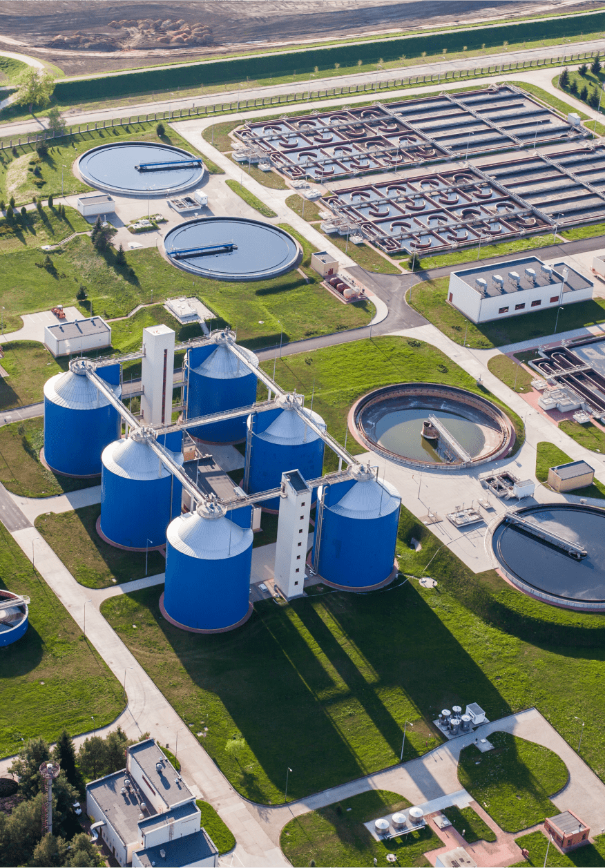
In the water and waste management domain, drones are becoming an essential tool for ensuring the operational efficiency of water treatment facilities and waste disposal systems. Drones facilitate the inspection of infrastructure, monitor environmental conditions, and assist in emergency response efforts. By providing critical data and real-time insights, drones help manage these vital resources more effectively, supporting public health and environmental sustainability.
How are Drones Used in Water & Waste Management?
Inspecting water treatment plants, pipelines, and tanks for maintenance needs
Identifying leaks and issues in wastewater systems with thermal imaging
Collecting data on water quality for environmental monitoring
Mapping and surveying facilities for planning and regulatory compliance
Assisting in disaster assessment and recovery operations

Contact the Infrastructure experts at Gresco UAS


.svg)
